Thursday 24 May 2012

BOURKE – CUNNAMULLA – THARGOMINDAH

BOURKE (CONT’D)
Before leaving Bourke, we took a drive out to Mount Oxley, named by Charles Sturt in 1828 after the explorer who didn’t quite make it that far.  From the top there are 360 degree views of the surrounding plains.  Sturt thought the area was “unlikely to become the haunt of civilized man”.  I wonder whether he got that right, or not.

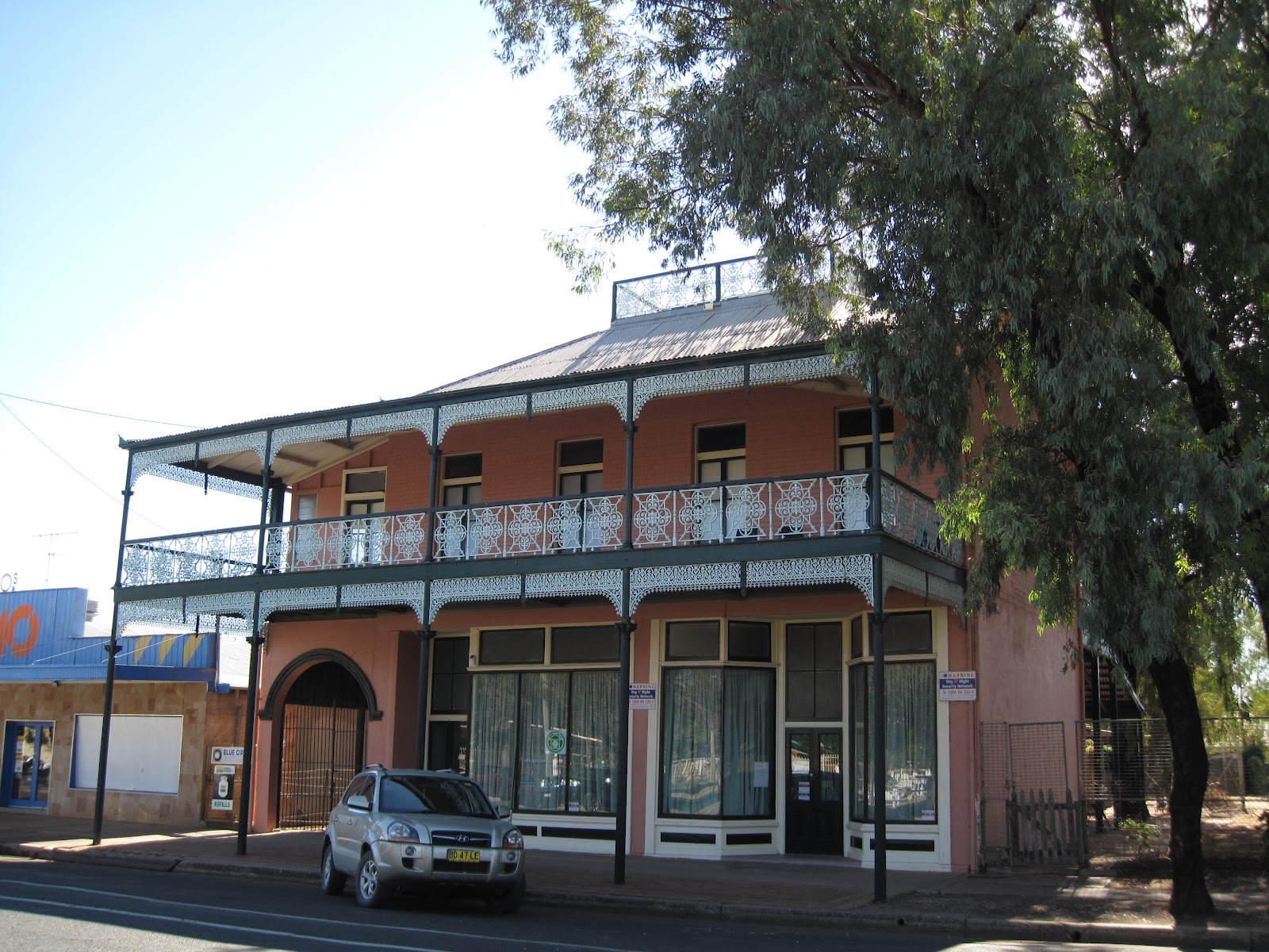
Back of Bourke Exhibition Centre


Next morning (Tuesday, 22nd May) we took the Mitchell Highway north towards Queensland.  We stopped for coffee at a place near the border called Barringun, which consists of an old pub and two trees.  I sent an SMS to Christine in San Francisco and got a reply back in about 30 seconds.  Amazing!   From the middle of nowhere to halfway round the world and back in a few seconds, or, more accurately, even further than that - out to space and back.


CUNNAMULLA

The Warrego River is still well up its banks:
 For a small town they’ve done a very good job with their museum and Information Centre.  An excellent DVD explained the formation and operation of the Great Artesian Basin.  There is much concern that water is being taken out faster than the system can replace it, so a program is underway of capping bores and sending water through pipes rather than open ditches.  And of course, don’t mention coal seam gas drilling to people who are dependent upon the GAB (as they call it) for their water!

THARGOMINDAH

A couple of hundred kilometres west of Cunnamulla, through Eulo on the Paroo, last of the ‘free flowing’ rivers in Queensland, is the town of Thargomindah, last town on this road before the South Australian border about 290k away.  Thargomindah – known locally as Thargo – was the third place in the world, after London and Paris, to have electric street lighting.  An enterprising local used water pressure from the bore to drive a turbine to generate electricity, thus also staking a claim to be the first town in Australia to make use of hydro electric power.  A problem was that all the water was needed to generate electricity, so when the lights came on, the water went off. 
Water has been gushing out of this bore since 1893 and it will continue to flow for at least another couple of years until they conquer all the problems associated with delivering water at a usable temperature from the new bore;  it comes out of the ground at 84 degrees centigrade.  The water tastes alright if you hold your nose while you drink.  It’s extraordinary to realise how recent is the concept that resources are finite.
 

It might be a cliché, but it really is big sky country out here.  The plains seem endless and the sky vast.

There is a very pleasant walk beside the currently flowing Bulloo River, lined with river gums.  The bush is in bloom -  eucalypts and acacias – and again, birds are in great profusion and variety, a greater variety here, including pelicans, than we’ve seen before.

Bulloo River at Thargomindah


Old Cobb& Co crossing of Bulloo River

Unfortunately, Currawinya National Park is closed for a few days for "baiting and shooting" of feral pigs.  We were heartened to hear that many station owners let the goats breed up, then they muster and sell them.  They hit upon this strategy during the drought when their properties were devoid of any other stock.

Tomorrow we’re off to the Dig Tree and Innamincka.  I’ve booked a motel room (last one available) for the next two nights as it’s decided to rain out here and a cold front is coming through.  We’re leaving the caravan behind as there’s some unmade, corrugated road on the SA side of the border.
Most sites and cabins at this park are occupied.  Cunnamulla caravan park was chock-a-block. Innamincka is booked out.  I checked the weather and roads on the internet this morning.  A woman two caravans up also checked the weather on her iPad and the fellow camped behind us was tapping away on his iPad this afternoon.  Plus, we’re all carrying smart phones.  I wonder where the outback is? 


Monday 21 May 2012

BOURKE

“The truth is that there exists inside coastal Australia a second Australia of which most of our people know very little...for out here you have reached the core of Australia, the real red Australia of the ages.”
C.E.W. Bean On the Wool Track, 1910
               
On Friday we drove the 165k north to Bourke.  Nearing Bourke the vegetation becomes sparser and then the cotton fields reappear, as well as the cotton balls along the road.  Bourke has two cotton gins, one of which is said to be very high tech using laser technology to set a world record for ginning.  Bourke is flat and has about half the population of Cobar at around two and a half thousand, 70 percent of whom are supposed to be indigenous, but apart from a few kids near the supermarket, we haven’t sighted any.  We’re camped at  Kidmans Camp, about 8k north, by the Darling River,

definitely a whites only area – mostly old and grey ones at that, all chasing the sun north.  Many are headed for Karumba on the Gulf, which is just about due north of Melbourne only right across the other side of the continent.

Our first night here, the people who run the camp put on a cook-out under the coolibah trees.


About 45 of us were fed and treated to recitations of bush poetry, some by Paterson and Lawson, by a fellow I’m guessing was a cocky “from up the road”, and the General Manager of the Shire.  We also had jokes, most of which were about sheilas, queers and greenies – hilarious!  However, there weren’t any jokes about aborigines or refugees, so I’m afraid that political correctness may have reared its ugly head, outback at Bourke.
The Shire General Manager explained to us, with the help of a large number of statistics about evaporation, water flows, rainfall patterns, etc., how taking water from the river for irrigation had no effect whatever on water flows downstream.  Furthermore, I think he was trying to argue that we have a moral and ethical duty to supply cotton to China, but I became a bit confused by the rambling nature of the argument.  I could see that most of the audience were loving it.  Someone called out, ‘Tell Tim Flannery’.  I can imagine this story being  re-told along all the trails travelled by the grey nomads, whatever the validity or otherwise of the arguments.
Anyway, a team of people gives hours of their time twice a week to these events.  In addition to propagandising, profits are donated to the Flying Doctor Service so I suppose some good comes of it.  It intrigues me that while they’re quite happy to quote Henry Lawson and take over his ideas of mateship, battlers, etc., I’m guessing that their political views are about as far from Lawson's as you can get.

......

After the floods, bird life on the Darling is prolific - egrets, herons, spoonbills, cockatoos, hawks, wedge tailed eagles, honey eaters, and more. 


Bourke has some fine old buildings in varying stages of repair or disrepair:
Court House:


At Poets Corner there are memorial plaques to Henry Lawson, CEW Bean, ‘Breaker’ Morant and Will Ogilvie.


Archibald sent Lawson to Bourke in 1892, partly to dry out away from the pubs of The Rocks and partly to gain inspiration for his writing.  A number of Lawson’s poems and stories were written in Bourke and he was heavily involved in the militant shearers’ activities of the time.  After humping a swag to Hungerford and back, he was thoroughly disillusioned by life on the wallaby and Paterson’s “sunlit plains extended”.  He went back to Sydney and never returned to Bourke.
“We found Hungerford and camped there for a day.  The town is right on the Queensland border, and an inter-provincial rabbit-proof  fence  -  with rabbits on both sides of it  -  runs across the main street.  This fence is a standing joke with Australian rabbits – about the only joke they have out here...”
                                                                                                                              Henry Lawson 1893


The Bourke cemetery is an interesting place to wander about.  The old headstones detailing age and manner of death paint a picture of life – no, death - in the 19th century.  ‘Drowned’, ‘Perished in the bush', ‘Policeman shot by bushrangers’ (Thunderbolt and Starlight roamed these parts) and,  inevitably, many graves of babies and children.  Afghan cameleers are buried facing Mecca – one old bloke reached 107 -  and a small building they used as a mosque still stands.


Fred Hollows chose to be buried here.  A team of international sculptors carved the stone monument.


Interestingly, the cemetery has, as well as the usual Catholic, Methodist, etc., sections, areas for General, Independent, UnSectarian (I think it was) and I can’t remember what else – a tribute to the imagination of the classifier.

The Darling from the old wharf:
Old lift-up bridge:


I don’t know what to make of the town of Bourke.  People have told me what a friendly place it is, and that’s true, but it’s the absence of a significant indigenous presence that I find strange – though I did see a couple of aboriginal fellows playing with a bowls team yesterday.

UPDATE:
Many aborigines out and about today, especially congregated in front of the Court House this morning, so my sense of reality/normality has been restored.


Sunday 20 May 2012

GRENFELL HISTORIC PARK

Driving west out of Cobar on the Barrier Highway towards Wilcannia, and eventually Broken Hill, the countryside was surprisingly quite thickly wooded.  About 40k along the bitumen is the turn off onto the good gravel road and 30k in is the Hillston historic site.  Here, the vegetation was even denser, with a wonderful variety of arid country trees – white cypress, box, mallee, acacias covered in pale yellow flowers.   Beautiful country!  The kind of country that makes you want to sit down in it for a while.  Grass was abundant and there were so many goats that I wondered for a while if they were being farmed.  But no, they were feral and in plague proportions.  Lots of babies too, so the good seasons are obviously benefitting the pests as well the natives.  Given the voracious nature of goats, I have to fear for the countryside.

When we stepped out of the car, the bush was alive with the sound of birds.  There were a number of kangaroos and emus about, also a fox and a rabbit.
A short walk (of course we managed to go wrong way round) took us to the three galleries of aboriginal art – paintings and stencils, painted over layer upon layer over the years.  Fabulous galleries!  Well worth the drive.  Sadly, no-one alive today knows what they’re about.


(In my post about Griffith, I forgot to say that the town was designed by Walter Burely Griffin and turned out to be just about as confusing as Canberra with circles within circles and roads radiating from the circles.  Even the GPS got confused.  It's a problem trying to write stuff days later when the memory is not what it was.)

Wednesday 16 May 2012

Melbourne - Cobar

Well, we finally made it out of Melbourne late Saturday morning, 12th May and pointed the rig north.  After travelling for about three quarters of an hour, Eric needed a coffee, so we pulled over for his caffeine hit.  About an hour later we stopped for lunch at Nagambie – talk about leisurely travel.  At this rate it will take us about two years to complete the circuit.  Our first night was spent at Numurkah at a pretty spot next to the river much frequented by local birds, including a flock of rowdy galahs.
Next day we set off about 10:30 am – only half an hour late – and drove to Jerilderie where we spent a pleasant couple of hours re-tracing Ned Kelly’s haunts and exploits.  We didn’t realise his Jerilderie letter was 58 pages long, rambling and semi coherent was the description! 

After lunch by the picturesque lake
we left Jerilderie, then turned off the Newell on to the Kidman Way (named after the self made cattle baron Sir Sidney Kidman) towards Griffith.  (Remember Al Grassby, and Donald Mackay?)  Flat open plains extended to the horizon in every direction.  Darlington Point on the Murrumbidgee River was originally a large port, complete with lift up bridge, for paddle steamers transporting wool and local produce, but became a backwater when Griffith developed.  I had planned to stop and have a look here but  we were through the town and out the other side before I realised.

In red dirt country on the road to Griffith there is an amazing variety of crops – rice (which they’ve been growing since the 1920s), cotton, wheat, vines, vegetables, fruit to name some – all supported by irrigation which begins with the control and diversion of water by the Snowy Mountain scheme.  Griffith is miles from the Murrumbidgee in the middle of nowhere.  The ‘main canal’ carries water across long distances and the water is then channelled to the various farms.  Man controls nature!  A number of signs around Griffith are less than complimentary about the Murray Darling Basin Authority.


As it was Mothers’ Day on Sunday, Eric treated me to a slap up dinner at the local Leagues Club, where we joined at least half the population of the town.  Sarah thought there would be some good Italian restaurants in Griffith, but there was no shortage on Italians en famille in the Leagues Club  An icy wind swept through Griffith while we were there.  A local told us that when it snowed at Thredbo, as it had the night before, they felt it in Griffith.


A relatively early (for us) start allowed us to dawdle about the various towns en route from Griffith to Cobar.  Balls of cotton line each side of the road on the first half of the Kidman Way. 
Merriwagga is supposedly the site of the origin of the black stump legend.  The tale goes that a bullocky passing through in 1886 left his wife to make camp for the night while he tended the cattle.  The day was hot and windy and the camp fire raged out of control burning the wife to death.  When the bullocky returned he said that his wife was dead and she looked just like a black stump.  Anyway, the hamlet  has the Black Stump Hotel, though very little else.


The largest town in the area is Hillston, situated on the banks of the Lachlan River.  A woman at the local Information Centre remarked on how pretty the countryside looks after all the rain.  It’s hard to imagine how they coped out here with all those years of drought.


After an enjoyable morning mucking about, poor Eric had to spend the afternoon driving into the sun to make it to Cobar.  We’d underestimated the distance by 100 ks, so were later than planned.  The road is mostly a straight strip of bitumen pointing north.  Bends are few and far between.  With the sun streaming through the windscreen, I spent the afternoon battling to stay awake, so Eric did very well to maintain concentration under the circumstances.

Situated at the crossroads of the Barrier Highway from Broken Hill and the Kidman Way, Cobar is both larger than I expected, with a population of over 5,000, and relatively prosperous, due to the local copper mine.


We're staying an extra day in Cobar so that we can visit Mount Grenfell National Park where there are supposed to be fine examples of aboriginal rock art, then on to Bourke on Friday.